
Even for the most avid explorers, this planet hides more than a few surprises — like that Reno, Nevada, is farther west than Los Angeles. For more earth-shaking information — like which state is simultaneously the westernmost, easternmost, and northernmost in the U.S. — check out the following facts that just might change your perspective forever.
Reno, Nevada, Is Farther West Than Los Angeles

Los Angeles is typically seen as the West Coast city. It is right next to the ocean and it has all those beaches, so it would make sense for it to be farther west than a desert city like Reno, right? Wrong: Reno is actually around 86 miles farther west than Los Angeles, due to the curve of California and the placement of the states.
Asia Is Bigger Than the Moon
The moon isn't as big as it looks. It’s around 27% of the size of Earth and has 14.6 million square miles of surface area. Although this seems like a lot, it is significantly less than the total surface area of Asia, which is 17.2 million square miles — making Earth's biggest continent larger than the moon.
Continents Shift at the Same Speed That Your Fingernails Grow

If you were awake during geology class, you will remember that the planet's tectonic plates are in a state of near-constant movement. This is how the Earth went from having basically one big continent to having seven. For around 40 million years, the continents were in a slow phase, moving away from each other at a rate of about one millimeter per year. Then, about 200 million years ago, things got kicked into high gear and the plates began to move at 20 millimeters per year, which, scientists say, is equivalent to the speed at which fingernails grow.
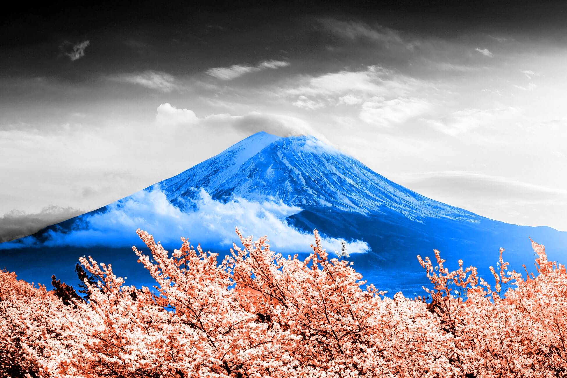
Mount Everest Is Not the World's Tallest Mountain
If someone asks you "What is the tallest mountain in the world?" you’d probably answer, "Why, Mount Everest, of course — everyone knows that." Sadly, you would be wrong. Technically, Mount Everest is the tallest mountain above sea level, but it isn't the tallest in the world. That honor goes to Mauna Kea in Hawaii. Mauna Kea rises up 13,796 feet above sea level (compared to Everest's 29,035 feet), but it also extends down an additional 19,700 feet below sea level into the Pacific Ocean. That makes it the world’s tallest mountain as measured from base to peak.
Alaska Is the Westernmost, Easternmost, and Northernmost State in the U.S.

This sounds impossible, but we assure you it's true. From looking at a map, it's pretty obvious that Alaska is the northernmost state in the country. What's surprising? The Aleutian Islands between Russia and Alaska boast the westernmost point of the United States, but in what seems like some sort of geographical oxymoron, they are also home to the easternmost point of the U.S. too. An island called Semisopochnoi has a spot that sits so far to the west (around 10 miles west of the Prime Meridian) that it actually becomes the easternmost spot in the U.S. too.
Maine Is the Closest State to Africa
When you think of Maine, its proximity to Africa probably doesn't come to mind. Surprisingly enough, Maine is the closest U.S. state to Africa, as the Quoddy Head peninsula is within 3,154 miles of El Beddouza, Africa. The two are divided by the northern part of the Atlantic Ocean and not much else, so if you ever want to say that you came close to visiting Africa without actually leaving the country, head to the Pine Tree State.
If You Head South From Detroit, You Could End Up in Canada

We can hear you now: "Wait a second — isn't Canada north of the United States?" And the answer to that is yes … and no. Most of Canada is above the U.S. on the map, but a small part of it reaches down just underneath Detroit. Because of this, traveling south and slightly to the east from a few places in Detroit could bring you to Canada, which may or may not be disorienting.
Alaska Has More Coastline Than All the Other States Combined
Alaska's just full of mind-blowing facts. According to the NOAA Office for Coastal Management, the state's coastline stretches for nearly 34,000 miles — more than all of the other U.S. states combined. In case you’re wondering, Florida has 8,436 miles of coast, while Louisiana has 7,721 miles. Of the 30 states that have a coastline, Indiana’s is the shortest — just 45 miles.
Europe Is Home to Six Microstates

When you think of the world's tiniest countries, the island nations of the Caribbean or the South Pacific might pop into your mind. In fact, six of the world's smallest countries, or microstates, are located in Europe. The world's smallest country is Vatican City, inside of Rome, which is home to the Roman Catholic Church and is ruled by the Pope; Italy is also home to the microstate of San Marino, the world's oldest constitutional republic and sovereign state. The other four European microstates include Monaco on the French Riviera, Andorra in the Pyrenees Mountains, Liechtenstein sandwiched between Switzerland and Austria, and the small archipelago of Malta, which lies in the Mediterranean.
Europe Has a Rainforest
The thought of a rainforest probably conjures up images of stunning flora and fauna found in the Amazon and other tropical locations. But if you travel to Bosnia and Herzegovina, you will find Perućica, a rainforest and one of two remaining old-growth forests in Europe. The forest lies within Sutjeska National Park and remains protected. Nicknamed "the Lungs of Europe," Perućica is home to more than 170 species of trees and bushes, including beech, fir, spruce, and mountain maple, as well as more than 1,000 species of herbaceous plants. Visitors especially enjoy the panoramic views from Vidikovac, a lookout point for Skakavac Waterfall, which falls 246 feet into a forest-covered valley.
Greenland Is Not Its Own Country

The days of Spanish exploration, the Great British Empire, and European colonization are mostly gone, with many countries having long since gained independence from their motherland. Some overseas territories still do exist, however, and Greenland is one of them. It's technically an autonomous territory of Denmark, as well as the world's largest island (three times the size of Texas!) if you don't consider the continent of Australia. Greenland is known for its large ice sheet, expansive tundra, and native Inuit residents.
Europe Is Larger Than Australia
Maps distort our perception of the world, especially in terms of country and continent size, because it's difficult to project the circular globe onto a flat surface with a high degree of accuracy. For example, the common Mercator map has been criticized for exaggerating the size of countries closer to the poles while downplaying the size of countries and continents near the equator. When you look at the map, Australia appears quite large, making Europe the obvious candidate for the "Smallest Continent Award." To be fair, Australia is a large landmass that would qualify as the largest island in the world if it weren't a continent. With all that said, Europe is actually larger than Australia by about 30%.
At Its Closest Point, Asia Is Only About 50 Miles From North America

For those living in North America, Asia can feel like it's on the other side of the world. The average flight time from Asia to North America is about 16 hours, which is no small undertaking, but the two continents aren't as far apart as you might think. Asia and North America are only about 53 miles apart at the Bering Strait, a body of water that separates Russia and Alaska. It's believed that during the Ice Age, the water levels in the Bering Strait fell so low that the area became a land bridge between Asia and North America, which allowed both animals and people to migrate from one continent to the other.