
The world is as full of wonders as it is wide, and we’ve rounded up some of our most astonishing geography facts to show you just how many wonders there are. From the world’s tallest waterfall being underwater to there being four North Poles, these facts may help you see the globe in a new light — a light possibly even brighter than Las Vegas, the brightest city on Earth. Read on for 25 of our most mind-blowing geography facts from around the website.
The Entire World Population Could Fit Inside Los Angeles

The world population grows larger every year, but we aren’t exactly running out of physical space. In fact, all 7.8 billion of us could easily fit inside Los Angeles. Research has shown that you can fit about 10 people into a square meter, crowded-elevator style; Los Angeles is about 1.2 billion square meters, which means that if we all squeezed together, the city could theoretically fit around 12 billion people. However, we couldn’t do much more than pose for a quick photo before going our separate ways, since there isn’t enough space in L.A. for everyone to actually live in such close quarters.
Asia Is Bigger Than the Moon

The moon isn't as big as it looks. It’s around 27% of the size of Earth and has 14.6 million square miles of surface area. Although this seems like a lot, it’s significantly less than the total surface area of Asia, which is 17.2 million square miles — making Earth's biggest continent larger than the moon.
Yellowstone Is Actually a Giant Supervolcano

Hot spots and geysers represent just a fraction of the action beneath the surface at Yellowstone. The whole park is actually a supervolcano, although it's not supposed to erupt anytime soon. Yellowstone is actually quite safe. Its supervolcano is made up of two magma chambers; the first is no more than 15% molten, while the second is only 2% molten. According to Forbes, it's practically impossible for a supervolcano to erupt unless its magma chambers are at least 50% molten. So, rest easy — and don't forget to enjoy the view.
The World’s Largest Waterfall Is Under the Ocean

Nestled between Greenland and Iceland is a body of water known as the Denmark Strait, and beneath its waves lies the world’s largest waterfall. Known simply as the Denmark Strait cataract (a cataract is a type of powerful, flowing waterfall), it cascades 11,500 feet toward the seafloor. This incredible deluge — like other underwater cataracts — is actually a dramatic dance between warm and cold water. In the case of the Denmark Strait cataract, cold water from the Nordic Sea meets the much warmer water of the Irminger Sea southwest of Iceland. The cooler, denser water sinks beneath the lighter, warmer water, dropping more than 2 miles to the seafloor. The resulting waterfall completely dwarfs Venezuela’s Angel Falls, the tallest terrestrial waterfall in the world, by more than 8,000 feet. The Denmark Strait cataract is also a staggering 100 miles wide, nearly 15 times wider than the widest terrestrial waterfall, the Khone Phapheng Falls in Laos, which is only 6.7 miles wide. By every single metric, this underwater avalanche towers over the competition — even though it never rises above sea level.
Istanbul, Turkey, Is Located in Both Europe and Asia

Istanbul (formerly known as Constantinople, and before that as Byzantium) isn’t just the biggest city in Turkey. With 15.4 million people, it’s the most populous city in all of Europe, and its location — between the Black Sea and the Mediterranean — has helped to make it one of the most famous cities in history, not to mention the capital of both the former Byzantine and Ottoman empires. (The capital of modern-day Turkey, incidentally, is the inland city of Ankara.)
In addition to its more than 2,500-year-old history and fascinating architecture (including the Hagia Sophia, built as a church in the sixth century CE), Istanbul is notable for being split between two continents, Europe and Asia, by a thin ribbon of water called the Bosporus. Around one-third of Istanbul’s residents live in Asia — east of the Bosporus — while the rest live in Europe.
The Earth’s Shape Is Constantly Changing
At a glance, the universe looks pretty well organized, with perfectly spherical planets orbiting in concentric circles around a glowing orb. But things are a lot more complicated in reality. For example, while our Earth looks like a sphere when viewed from space, it’s actually an irregularly shaped ellipsoid (think a flattened sphere) because of the centrifugal force of its rotation. And its weirdness doesn’t stop there: The precise shape of the Earth is also changing all the time.
The drifting of tectonic plates form entirely new landmasses, and the Earth’s crust is still rebounding from the last ice age 16,000 years ago. While these minute adjustments go mostly unseen, other shape-altering events — such as earthquakes, volcanic eruptions, and asteroid strikes (RIP to our Cretaceous friends) — are hard to miss. But the Earth also changes shape by the hour. Every day (roughly), the Earth experiences two periods of high and low tide, where the gravitational effects of the moon and sun affect the movement of our oceans, and as a result, the shape of the planet, if only temporarily.
There Are Actually Four North Poles in the Arctic Circle

For many, the North Pole is associated with Santa Claus, flying reindeer, and toy-making elves. What most don’t know is that there are actually four recognized North Poles. The Geographical North Pole (aka True North) is the northernmost point on the planet and where all of Earth’s lines of longitude meet. The Magnetic North Pole is the spot at which the planet’s lines of magnetic force all point vertically downward (and the point that attracts the needle of a compass). The Geomagnetic North Pole is the northern end of where the axis of the magnetosphere — the magnetic field that surrounds the Earth and extends into space — intersects the planet. Finally, the North Pole of Inaccessibility is the point in the Arctic Ocean that’s farthest from any coastline.
Europe Has a Rainforest

The thought of a rainforest probably conjures up images of stunning flora and fauna found in the Amazon and other tropical locations. But if you travel to Bosnia and Herzegovina, you will find Perućica, a rainforest and one of two remaining old-growth forests in Europe. The forest lies within Sutjeska National Park and remains protected. Nicknamed "the Lungs of Europe," Perućica is home to more than 170 species of trees and bushes, including beech, fir, spruce, and mountain maple, as well as more than 1,000 species of herbaceous plants. Visitors especially enjoy the panoramic views from Vidikovac, a lookout point for Skakavac Waterfall, which falls 246 feet into a forest-covered valley.
Australia Used To Be Called New Holland

Thailand used to be called Siam, Ethiopia was once known as Abyssinia, and Australia was initially christened New Holland when Dutch navigators encountered it in the 17th century. The land Down Under received its current English name courtesy of British explorer Matthew Flinders, the first to circumnavigate the continent, who made a hand-drawn map referring to it as Australia a year later in 1804. Britain formally adopted that name for the country in 1824, and by the end of the 1820s it was widely used.
There’s Only One Place in the U.S. Where Four States Meet

Want to try being in four places at once? Then get yourself to the aptly named Four Corners Monument, which marks the intersection of Utah, Colorado, Arizona, and New Mexico. It’s the only place in America where so many states converge, which is especially impressive given that there are 65 spots where three states meet. The exact location of the quadripoint (the technical term for a place where four territories touch) was a matter of more debate than you might expect, with some surveyors arguing that it should have been about 2,000 feet to the west, thanks to changes in the technical reference systems used for various surveys. It wasn't until a 1925 Supreme Court case that the matter was officially settled.
About 75% of the Earth’s Volcanoes Are Located on the Pacific Ocean’s “Ring of Fire”

About 1,350 potentially active volcanoes dot the Earth today, and the lion’s share of them can be found along a 25,000-mile-long horseshoe-shaped ribbon that borders the Pacific Ocean. This Circum-Pacific Belt, more commonly known as the “Ring of Fire,” is home to some of the most volcanically active areas in the world, including Southeast Asia, New Zealand, Japan, Chile, Alaska, and parts of the contiguous United States. These volcanoes are largely formed at subduction zones, when denser tectonic plates slip underneath lighter plates. This subduction turns the Earth’s dense mantle into magma, which eventually bubbles up as volcanoes.
Only Three Countries in the World Are Entirely Surrounded by One Other Country

A country’s borders can take many shapes and sizes, but only three countries in the world can be considered enclave nations. An enclave is territory of one state surrounded by territory of another, and enclave nations are those that exist wholly within another country’s borders on all sides. In Europe, Italy surrounds two of these enclave nations — Vatican City, the seat of the Roman Catholic Church, and San Marino, a microstate located on the northeastern slopes of the Apennine Mountains. The world’s other enclave nation is Lesotho, a country completely enclosed by South Africa, and which owes at least part of its long history of independent rule to its incredibly mountainous, hard-to-conquer terrain.
Nepal Has One of the Most Unusual Time Zones in the World

Calculating time zones can be a maddening aspect of daily life. In the U.S. alone, 13 states straddle two time zones. Things get even stranger when considering Nepali Standard Time: The landlocked Asian country of Nepal uses a meridian that passes through Gaurishankar, a mountain in the Himalayas, to calculate its time zone. Being 5 hours and 45 minutes ahead of UTC, Nepal is a rare 45-minute deviation, meaning that when it’s noon in Greenwich, England (the basis for UTC), it’s 5:45 p.m. in Nepal. The only other 45-minute deviations in the world are New Zealand’s Chatham Islands and a tiny time zone in western Australia.
Africa Is the Only Continent With Land in All Four Hemispheres

The hemispheres divide the world into four sections, with the equator separating the Northern and Southern hemispheres at zero degrees latitude and the prime meridian separating the Western and Eastern hemispheres at zero degrees longitude. Most continents fall within only a few of these invisible boundaries, but one has land in all four hemispheres: Africa. The equator passes through seven African nations (the Democratic Republic of the Congo, Gabon, Kenya, Republic of Congo, São Tomé and Príncipe, Somalia, and Uganda), while the prime meridian crosses five (Algeria, Burkina Faso, Ghana, Mali, and Tongo). With 12 hemisphere-spanning countries and land at both the prime meridian and equator, Africa’s spot on the map is unparalleled.
The Westernmost and Easternmost Points of U.S. Territory Share the Same Name

The shape of the United States has changed over the centuries — including its farthest reaches east and west. Today, the lower 48 states stretch around 3,000 miles, but the true span of the United States has more than tripled thanks to some of the country’s island acquisitions. In the east, the farthest point in the U.S. in relation to the mainland is Point Udall, located on the island of St. Croix in the Caribbean. Strangely, the farthest point to the west — on the remote Pacific island of Guam — is also called Point Udall. Although the namesakes honor two different men, they do honor the same family. Point Udall in St. Croix is named after Stewart Udall, who served as secretary of the interior for Presidents John F. Kennedy and Lyndon B. Johnson. Guam’s Point Udall is named for Stewart’s brother, Morris, who served as a U.S. congressman from Arizona from 1961 to 1991.
Glasgow, Montana, Is the Most Isolated Town in the Contiguous U.S.

The American West is known for its wide open spaces, but nowhere is quite as wide open as the area around Glasgow, Montana. Crunching some numbers back in 2018 in an effort to definitively define “the middle of nowhere,” The Washington Post found that a whopping 98% of Americans in the contiguous U.S. live within an hour of some kind of urban center (that is, a metropolitan area with at least 75,000 people). But Glasgow, located in the northeast corner of the state, is an estimated 4.5 hours from the nearest urban center, making it the most isolated town (with a population of 1,000 or more) in the Lower 48.
Las Vegas Is the Brightest City on Earth

About 80% of the world’s population lives in a place lit up by artificial light at night. And according to NASA, nowhere do those lights shine brighter than in Las Vegas. A city that loves its neon signs and bright marquees, Las Vegas offers an around-the-clock dose of sensory overload — even New York City, “the city that never sleeps,” and Paris, “the city of lights,” can’t match the over-the-top light show of Las Vegas when viewed from outer space. And in a city with so much artificial light, one manages to stand out: the Sky Beam atop the Luxor Hotel pyramid. It's powered by 39 ultra-bright xenon lamps (each 7,000 watts) and curved mirrors that collect their light and focus them into the world’s strongest beam of light. Not only can it be seen from space, but the Sky Beam provides enough illumination to read a book from 10 miles out in space.
The Chicago River Flows Backward

In the second half of the 19th century, Chicago was one of the fastest-growing cities in the world. But along with that population boom came unfortunate side effects, including waterborne diseases such as cholera and typhoid. The problem was in large part that the city’s sewage flowed into the Chicago River, which in turn emptied into Lake Michigan — the source of the city’s drinking water. So Chicago turned to engineer Ellis S. Chesbrough, designer of the city’s sewer system, to solve the problem once and for all.
Chesbrough concluded that if the city’s eponymous river could just flow away from Lake Michigan and empty into the waterways leading to the Mississippi, Chicago’s water problems would be over. The subcontinental divide just west of Chicago is what caused the river to flow toward the lake, so if the city dug a ditch lower than both the lake and the river through the divide, gravity would take it from there. Workers began the laborious process of reversing the Chicago River in 1892, and after eight years of digging, Chicago blew up the last dam on January 2, 1900, reversing the river’s flow. This ambitious plan ended up saving the city, securing its prosperous future into the 20th century and beyond.
The Position of the Arctic Circle Changes Every Year

The Arctic Circle is located at approximately 66.3 degrees north of the equator; however, its actual location changes slightly every year. This is due to the fluctuation of Earth’s axial tilt, which is influenced by the orbit of the moon and the consequent tidal changes. The same axial tilt causes the different seasons that we experience on Earth. Currently, the circle is moving north at a rate of around 49 feet per year. In 2017, an art exhibit called Orbis et Globus was inaugurated on Iceland’s Grimsey Island to monitor the circle’s movements.
100 Lightning Bolts Strike Earth Every Second on Average

The Earth’s atmosphere is filled with electricity. Every second, 100 cloud-to-ground lightning strikes hit the Earth. Considering that most lightning only takes place in clouds and never hits the ground, that makes Earth quite an electrifying place. Lightning happens because air in clouds acts as an insulator between positive and negative charges that exist within clouds and between clouds and the ground. When these opposite charges build up enough, the air can no longer insulate and breaks down — a phenomenon we experience as lightning. To add even more drama, lightning traveling at 200,000,000 mph superheats the surrounding air to 50,000 degrees Fahrenheit — that’s nearly five times hotter than the surface of the sun — but only for a fraction of a second. This intense heat causes air to expand and vibrate, creating thunder. But while lightning is indeed common, only one out of every 5,000 Americans will be struck by it during their lifetime.
The Grand Canyon Isn't the Deepest Canyon in the U.S.

Given its name, it’s a common misconception that the Grand Canyon is the deepest canyon in the United States. The Grand Canyon is very deep — 4,000 feet deep, in fact, with the deepest point reaching 6,000 feet. This gives it an average depth of about a mile. But Hells Canyon, running along the border of Oregon and Idaho, exceeds the depth of the Grand Canyon by plunging nearly 8,000 feet in some places.
Only 19% of the Ocean’s Floor Has Been Mapped in Detail

Despite covering most of the Earth, much of the ocean has yet to be explored — or even mapped. A 2014 seafloor map developed by an international team of researchers revealed every oceanic feature larger than about 3 miles across, which means we have a strong sense of underwater mountains, but smaller objects — like centuries-old shipwrecks — continue to elude us.
The Nippon Foundation-GEBCO Seabed 2030 Project hopes to survey the entire ocean floor in detail within the next nine years. As of 2020, they estimated that 19% of the seafloor had been mapped in detail. They're working quickly: When the project began in 2017, only 6% of the seafloor was mapped in detail. Yet they still have an area roughly twice the size of Mars to cover.
The Earth’s Surface Is “Recycled” Every 500 Million Years

Approximately every 27 days, humans replace their skin. The Earth undergoes a similar process — it just takes 500 million years. As tectonic plates ram into each other, creating what’s called subduction zones (the Ring of Fire volcanic chain, for example, is a series of subduction zones bordering the Pacific Plate), the plates dip below lighter continental plates. The subducted rock is heated into magma and becomes future lava plumes forming new landmasses. Scientists used to believe that this process took nearly 2 billion years to complete, but new analysis of basaltic lava on Mauna Loa volcano in Hawaii proves that Earth recycles its “skin” in about a quarter of that time, or every 500 million years.
In Nova Scotia, You Can Stand on the Corner of "This Street" and "That Street"

Drive down the highway in Nova Scotia, Canada, some 30 minutes northeast of Halifax, and you’ll run into a trio of odd street names. Just down the street from the Porters Lake Community Center, at the tip of a peninsula jutting out into nearby Porters Lake, are This Street, That Street, and The Other Street, referencing the idiom “this, that, and the other.” Strange as these street names may seem, the 3,200 or so residents of Porters Lake would find common ground with Americans in Culver, Oregon, who named two of their streets “This Way Lane” and “That Way Lane.” (Meanwhile, in a somewhat similar vein, attendees of the Tennessee music festival Bonnaroo have to Abbott & Costello their way around What Stage, Which Stage, This Tent, That Tent, and The Other Tent.)
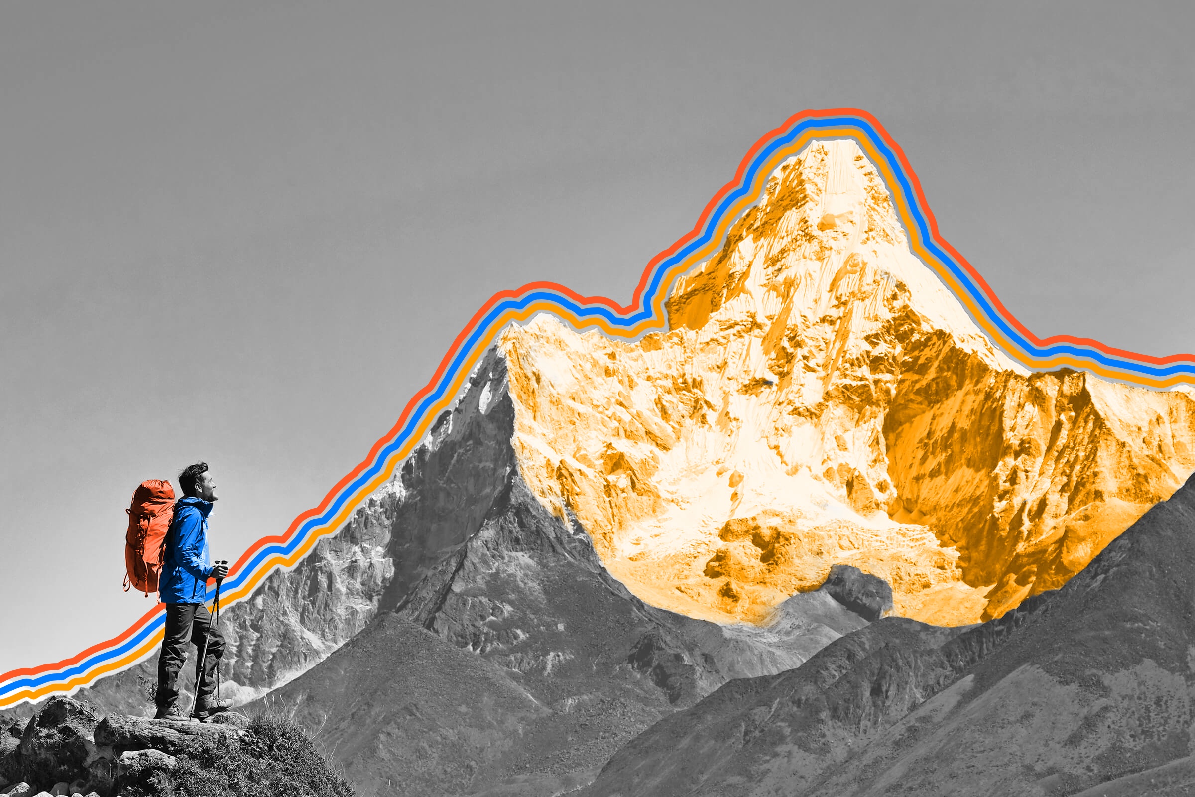
Mount Everest Is Still Growing

Standing 29,032 feet above sea level in between Nepal and Tibet, Mount Everest is the world’s highest peak. It’s also still growing. While there’s a push-pull dynamic at work in its vertical expansion — plate tectonics push it further into the sky at the same time that erosion does the opposite — the mountain gets about 4 millimeters (0.16 inches) taller per year on average. That means it’s actually growing at a slightly slower rate than many of its Himalayan counterparts, some of which are rising about 10 millimeters (0.4 inches) each year.
Feature image credit: Original photo by Vixit/ Shutterstock